

Parts of Florida to face thunderstorms as NHC tracks 3 systems in Atlantic
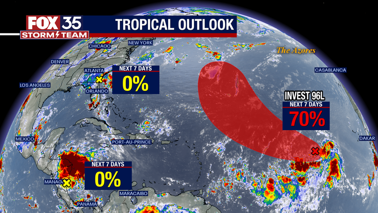
The National Hurricane Center is tracking three storms in the Atlantic, one of which is bringing showers and thunderstorms to northeastern Florida on Friday.
This weak area of low pressure that formed east of Jacksonville on Friday is moving toward the north-northwest and is forecast to move inland over the northeastern parts of Florida and eastern Georgia later today, according to the NHC. It's not expected to develop further, but will still bring heavy rainfall to northeast Florida, east Georgia, and some parts of east South Carolina over the next day.
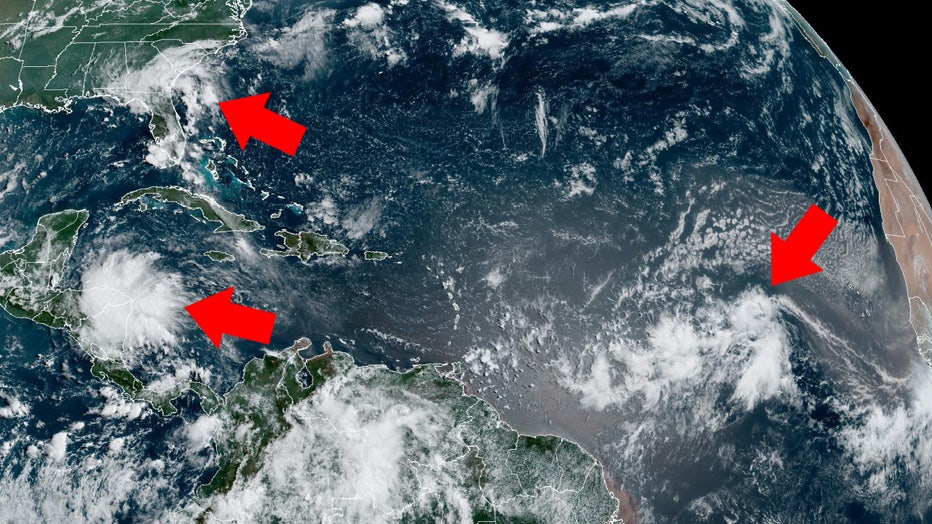
Photo: NOAA
The NHC is also tracking a tropical wave between the Cape Verde Islands and the Lesser Antilles, which forecasters have labeled Invest 96L. This storm could strengthen into a tropical depression as early as next week as it continues to move toward the west-northwest over the tropical Atlantic, the NHC said.
This storm has a 70% chance of forming in the next week.
In the Caribbean Sea, there's another tropical wave that's bringing disorganized showers and thunderstorms to Central America on Friday, the NHC said. Significant development isn't expected, but heavy rainfall is possible in Nicaragua and Honduras over the next day.