Tropical Storm Hanna strengthens a bit as it closing in on Texas

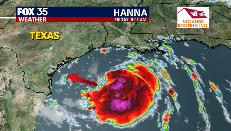
ORLANDO, Fla. - Tropical Storm Hanna is closing in on Texas, and will likely make landfall along the coast on Saturday.
As of 11:00 a.m., the storm has strengthened a bit and is about 260 miles east of Corpus Christi, with maximum sustained winds of 45 mph.
The center of circulation is moving west-northwest at 9 mph.
A Tropical Storm Warning is in effect from the mouth of the Rio Grande to San Luis Pass.
Hanna is expected to produce 4 to 8 inches of rain, with isolated totals of 12 inches through Sunday night in south Texas.
TRACK THE TROPICS: Visit the FOX 35 Orlando Hurricane Center for the latest in the tropics, including daily updates, live radar, and severe weather alerts.

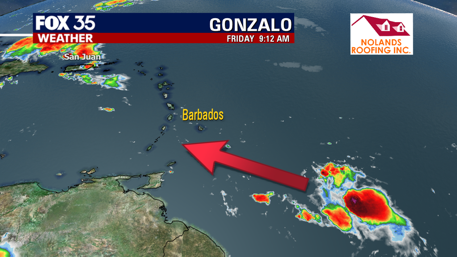
Gonzalo will strengthen into a hurricane before moving over the Windward Islands, according to the latest track from the National Hurricane Center.
The track also shows a faster weakening trend once the storm moves into the Caribean Sea.
As of 11:00 a.m., Gonzalo has maximum sustained winds of 50 mph and is moving west at 18 mph.
The storm is about 485 miles east of the southern Windward Islands.
A Tropical Storm Warning is in effect for St. Lucia, Barbados and St. Vincent and the Grenadines.
A Hurricane Watch is in effect for Barbados and St. Vincent and the Grenadines
According to the NHC, "the statistical-dynamical intensity guidance as well as the deterministic models all show Gonzalo strengthening as it approaches the southern Windward Islands."
CLICK HERE TO DOWNLOAD THE FOX 35 WEATHER APP
Gonzalo is forecast to move into a rougher environment over the weekend- which will help weaken the storm.
There is significant uncertainty in how strong Gonzalo will be when it moves across the southern Windward Islands, according to NHC.
An Air Force Reserve reconnaissance aircraft scheduled to investigate the storm later this afternoon and will provide a more precise intensity estimate.

